BODC Cruise Metadata Report for FRV Clupea (74CU) cruise 0500C_2
Introduction
This report collates information from the BODC cruise inventory and oceanographic databases. It presents
- Cruise Inventory Information
- A summary of BODC data holdings for the cruise from the
- References - including cruise tracks and cruise reports
Cruise Inventory Information
| Long name | FRV Clupea (74CU) cruise 0500C_2 |
|---|---|
| Short name | 0500C_2 |
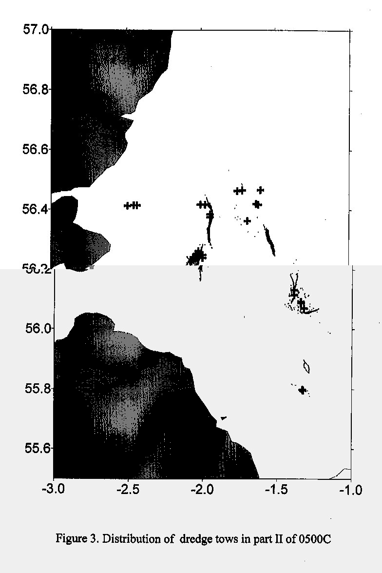
| Objectives and Narrative | To investigate the density distribution of sandeels in the viciity of fished grounds from the Farne Deeps to Scaup Bank by dredge sampling as part of contract C662. The survey repeated dredge tows from stations previously surveyed in April 1997-1999, in order to estimate local changes in abundance. Samples of sandeels were also taken for subsequent analysis of age and condition. |
| Ship | FRV Clupea |
| Departure Port | Montrose, United Kingdom |
| Departure Date | 2000-03-28 |
| Arrival Port | Fraserburgh, United Kingdom |
| Arrival Date | 2000-04-05 |
| Principal Scientist(s) | Peter J Wright (Fisheries Research Services Aberdeen Marine Laboratory) |
| Responsible Organisation | Fisheries Research Services Aberdeen Marine Laboratory |
| Associated Project(s) | |
| IHB Sea Areas Visited | North Sea |
| Marsden Squares Visited | 181;3 |
| Work Area Description | Firth of Forth, E. coast of Scotland, Wee Bankie, Marr Bank and Farne Deeps to Scaup bank |
| Unable to lookup cruise bounds at this time | |
| Work Area Bounding Polygon | |
| Southern Limit | unknown |
| Northern Limit | unknown |
| Western Limit | unknown |
| Eastern Limit | unknown |
Cruise Inventory Datasets
| Physical oceanography | |
|---|---|
| CTD stations |
Quantity:
number of profiles =
5
Description: CTD casts using Seabird CTD |
| Biology and fisheries | |
| Demersal fish |
Quantity:
number of hauls =
33
Description: Dredge sampling of Sandeels |
| Other biological/fisheries measurement |
Quantity:
number of samples =
36
Description: Day grab samples to survey Sandeels |
Cruise Inventory Mooring/Buoy Operations
No information on datasets is currently available
Summary of BODC Data Holdings for the Cruise
National Oceanographic Database
Summary
| # Series | Instrument Description | Parameters |
|---|---|---|
| 6 | CTD/STD cast |
Electrical conductivity of the water column Salinity of the water column Temperature of the water column Vertical spatial coordinates |
Note: Parameter terms are taken from the BODC Parameter Discovery Vocabulary XML (SKOS)
Full List
| BODC Reference | Instrument Description | Date/Time | Location | |
|---|---|---|---|---|
| 553675 | CTD/STD cast | 2000-03-28 00:25Z | 56° 27' N, 2° 13' W | Click for more |
| 553687 | CTD/STD cast | 2000-03-28 01:32Z | 56° 27' N, 2° 3' W | Click for more |
| 553699 | CTD/STD cast | 2000-03-28 02:28Z | 56° 28' N, 1° 52' W | Click for more |
| 553706 | CTD/STD cast | 2000-03-29 02:36Z | 56° 8' N, 2° 16' W | Click for more |
| 553718 | CTD/STD cast | 2000-03-30 03:12Z | 56° 3' N, 2° 0' W | Click for more |
| 553731 | CTD/STD cast | 2000-03-31 02:47Z | 56° 3' N, 1° 37' W | Click for more |
Project Database
No data currently held for this cruise in the BODC Project Database
